Photos
|
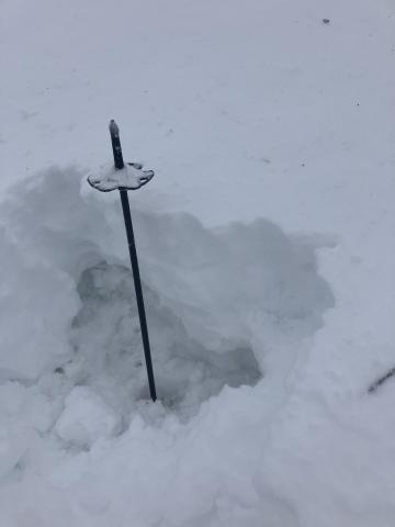
Bridger Range, 2025-05-08 On may 6 on the Ramp there was 8-12” of heavy, mostly moist snow from yesterday. Winds were moderate to strong on the ridge and above ~7800’. Mostly cloudy. Below the new snow, the snowpack was not refrozen. There was a very thin, 1cm crust with saturated wet snow below. There were old wet slides, d2, that ran last week out of the steep terrain south of the ramp. Wet snow avalanche potential could increase quick when temperatures get hot. |
|
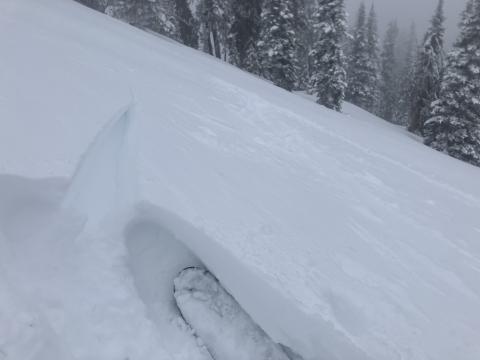
Bridger Range, 2025-05-08 On the ramp this morning 5/6. There was 8-12” of heavy, mostly moist snow from yesterday. Winds were moderate to strong on the ridge and above ~7800’. Mostly cloudy.There were some fresh, hard wind slabs on the ramp. These may exist for another day or so on high, shady slopes. |
|
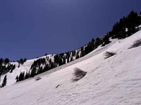
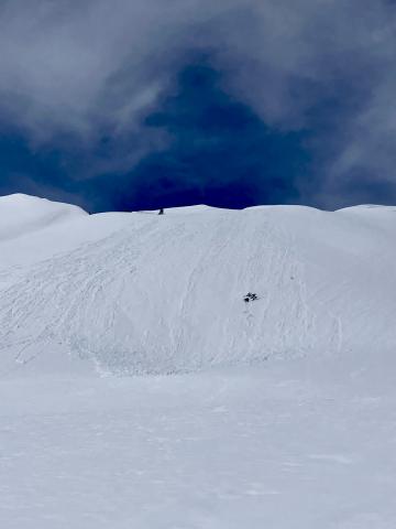
Bridger Range, 2025-05-06 On May 3 We were above the entrance to Exit Chute and triggered a slough slide that slid down one of the gullies that emptied into PK bowl. It appears to have followed an existing slide path, terminating in the top of what looked to be a significant existing avalanche runout. The slide looks pretty wide but not deep. Link to Avalanche Details |

|
Bridger Range, 2025-05-06 We were above the entrance to Exit Chute and triggered a slough slide that slid down one of the gullies that emptied into PK bowl. It appears to have followed an existing slide path, terminating in the top of what looked to be a significant existing avalanche runout. The slide looks pretty wide but not deep. Link to Avalanche Details |
|
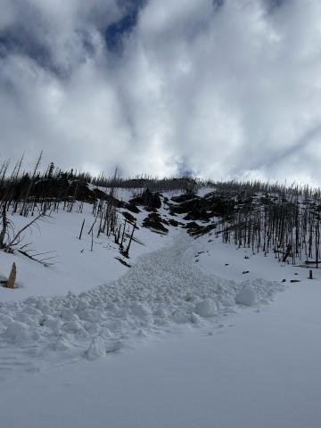
Out of Advisory Area, 2025-05-02 This wet loose avalanche is a great example of where they often occur. Rocks absorb extra heat from the sun and can quickly melt and destabilize the snow. Either move under areas like this early in the morning (as we did), or if you have to travel under them later in the day, move quickly. |

|
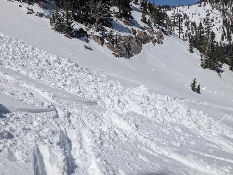
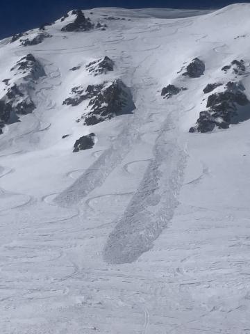
Bridger Range, 2025-04-20 "Today (Saturday, 4/19), I triggered a small soft-slab avalanche at about 7,700' on a E-NE aspect on the headwall between Frazier Lake and Angier Lake in the northern Bridgers. The slide was maybe 6" deep, 20' wide and ran 100-200 feet and involved only the new storm snow over the icy, thick crust underneath. No one was caught or injured, though I had a bit of a scare because my dog was right in the path (luckily she outran it)." Link to Avalanche Details |
|
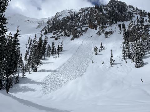
Cooke City, 2025-04-20 Near Cooke City on 4/19 skiers triggered a dry loose avalanche and a small wind slab avalanche. The wind slab broke in a drifted pocket near the base of cliffs, 3-6" deep x 10' wide. Northeast aspect, 10,200'. Photo: GNFAC Link to Avalanche Details |
|
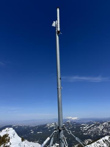
Bridger Range, 2025-04-19 "yesterday (4/18), saw this one wet loose slide that naturally started off some rocks. Decent size by the bottom. Other than that, just some spiff. Surprisingly didn’t see any big wind slabs trigger, despite the widespread wind effect in the northern Bridger’s. Lots of wind scour on southerly aspects. Northern aspects had wind loading." Photo: W. Landry Link to Avalanche Details |
|
Northern Gallatin, 2025-04-15 |
|
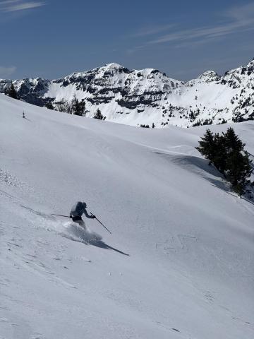
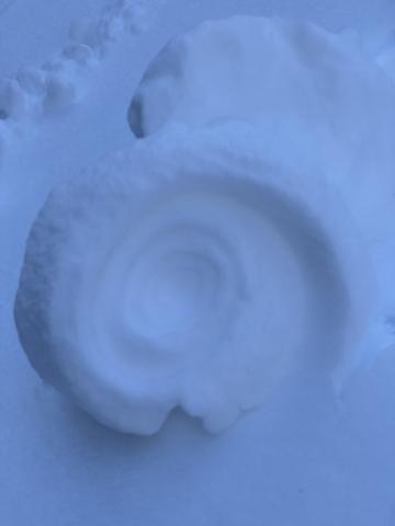
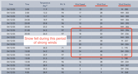
Northern Gallatin, 2025-04-15 We went through Flanders' Creek to the Flanders Weather Station to pull it for the season. We descended to the Grotto Falls TH via the Winter Dance Route. The surface snow got wet as the day progressed, but we saw no wet snow avalanche activity. I wouldn't be surprised if there was limited activity as the day progressed. Recent warm temperatures have almost universally affected snow surfaces. North-facing slopes above 9500' elevation remain dry, and pockets of dry snow exist at lower elevations on shaded slopes. South-facing slopes have cycled a few times, and the corn snow is coming in reasonably well. There were no signs of dry snow instability. Photo: GNFAC |
|
Northern Gallatin, 2025-04-15 |
|
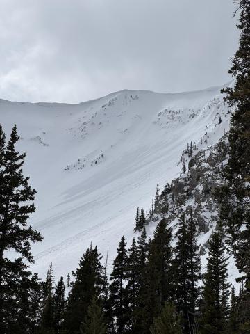
Cooke City, 2025-04-13 Screenshot of winds from Lulu Pass wind station during the storm. |
|
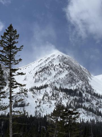
Bridger Range, 2025-04-09 Winds were cranking at ridge top elevation, transporting what soft snow there was. Minimal hazard formation. I spotted one fresh wind slab avalanche near Hardscrabble. The slide ran several hundred feet in steep terrain but was very thin (R1,D1). Photo: GNFAC Link to Avalanche Details |
|
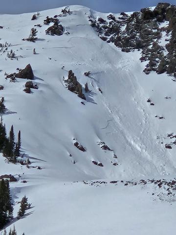
Bridger Range, 2025-04-09 Winds were cranking at ridge top elevation, transporting what soft snow there was. Minimal hazard formation. I spotted one fresh wind slab avalanche near Hardscrabble. Photo: GNFAC Link to Avalanche Details |
|
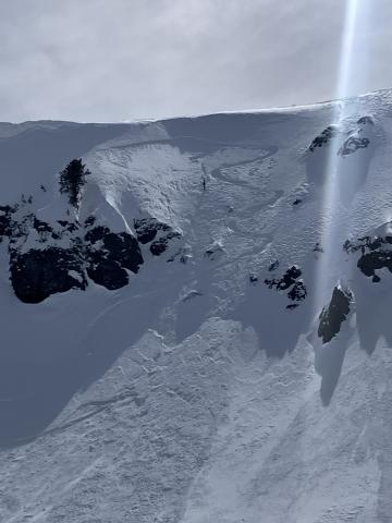
Cooke City, 2025-04-09 Old wind slab, South East on Scotch Bonnet. Photo: Anonymous
|
|
Cooke City, 2025-04-07 |
|
Cooke City, 2025-04-07 |
|
Cooke City, 2025-04-07 |

|
, 2025-04-07 For years, the avalanche community has worked to understand and address the human factors that influence decision-making in the backcountry. With decades of research as their foundation, Sara Boilen and Ian McCammon are developing an open-source tool to help individuals mitigate risk in avalanche terrain. The project's first stage involves interviewing backcountry recreationalists who have been traveling in avalanche terrain for at least one season. All participants will be entered to win amazing raffle prizes (from Jones Snowboards, BCA, and more!). If you’re curious about being involved, please take 1-2 minutes to fill out their basic initial survey! |
