This is Ian Hoyer with the avalanche forecast on Saturday, March 29th, at 7:00 a.m., sponsored by Knoff Group Real Estate, Werner Wealth Management and Upper Yellowstone Snowmobile Club. This forecast does not apply to operating ski areas.
Temperatures are below freezing across the whole advisory area for the first time since Monday. There are 2” of new snow in the Bridger Range and a dusting to an inch elsewhere. Winds picked up yesterday afternoon near West Yellowstone and Island Park, gusting 40-55 mph. Winds died down in those areas overnight and are now blowing 5-15 mph out of the west and south across the region.
Winds today will be light. High temperatures will be substantially cooler than the last couple days, generally in the 30s F. Around Bozeman and Big Sky, skies will be mostly cloudy and snow showers will leave 1-3” by this evening. Near West Yellowstone, Island Park, and Cooke City, expect a mix of sun and clouds, with only a dusting of snowfall. By tomorrow morning, 2-4” will fall across much of the region, with potentially a few more inches in the Big Sky area.
Several more rounds of snowfall are expected in the coming days.

All Regions
Today is a transition day, between the warmth and mostly dry weather of the last week and the snowy pattern that is setting up for the coming week. This transition leaves us in a bit of a lull today, with large avalanches unlikely and generally safe conditions.
With temperatures below freezing this morning and only expected to get a little above freezing today, the wet snow concerns we’ve been dealing with all week should be minimal. Some areas might not have a stout crust at the surface this morning and in others it might break down today, so do look out for Wet Loose avalanches if you’re sinking more than ankle deep into wet snow. Treed, low elevation slopes facing the southern half of a compass are where you’re most likely to encounter this lingering wet snow.
There is a little bit of new snow this morning and a bit more may fall today, but it won’t be enough to make for much avalanche hazard. There may be some thin wind drifts that could break as small Wind Slab avalanches, but at most, these would only be an issue in extreme terrain where losing your footing or getting pushed a few feet off course would have big consequences.
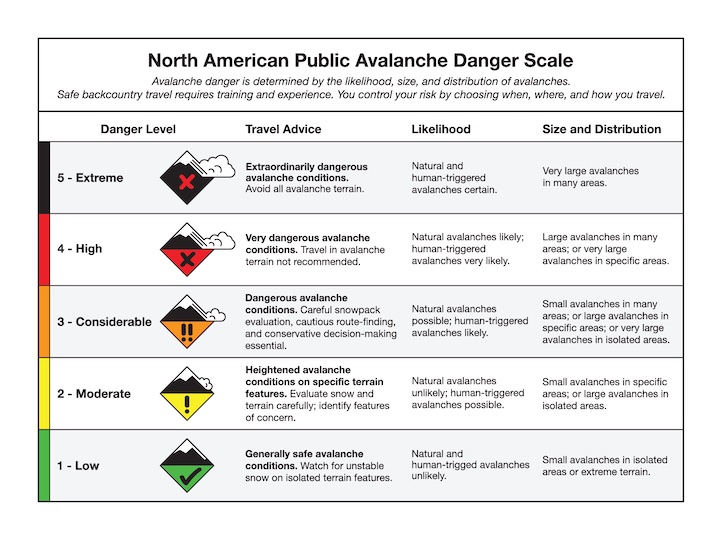
The avalanche danger is LOW today.
Conditions will be changing with the new snow over the coming days, so make sure to check the again for the latest updates before heading out.

Eastern Oregon University is conducting a survey to better understand avalanche safety preparedness among motorized backcountry users like you. Your feedback will help us learn more about who is purchasing and practicing with avalanche rescue gear (beacon, probe, shovel) and participating in avalanche education. The survey is confidential and anonymous.
Your feedback is invaluable; please take a moment to share your experience and help us make a difference.